Published ~ 20 January 2024
Deciphering Utility Mapping: Navigating Beneath the Surface
Utility mapping, a cornerstone of modern infrastructure management and urban planning, is a methodical process aimed at accurately charting and cataloguing underground utilities and infrastructure. As our cities grow and evolve, the need to understand what lies beneath the surface becomes increasingly critical. In this article, we'll delve into the intricacies of utility mapping, its significance, and the technologies driving its evolution.
Understanding Utility Mapping
Utility mapping involves the systematic identification, location, and documentation of underground utilities such as water pipes, sewer lines, gas mains, electrical cables, and telecommunication networks. By creating detailed maps and records of these essential assets, utility mapping facilitates informed decision-making, reduces the risk of damage during construction and excavation, and enhances the overall efficiency of infrastructure management.
The Significance of Utility Mapping
The importance of utility mapping cannot be overstated, particularly in densely populated urban areas where underground utilities crisscross beneath streets, sidewalks, and buildings. Accurate mapping helps utility companies, city planners, engineers, and construction firms avoid costly and potentially dangerous conflicts with buried infrastructure. Additionally, utility mapping plays a vital role in emergency response efforts, allowing first responders to quickly locate and access critical utilities during emergencies such as gas leaks or water main breaks.
Technologies Driving Utility Mapping
Advancements in technology have revolutionised the field of utility mapping, enabling more efficient and precise data collection, analysis, and visualisation. Some of the key technologies driving utility mapping include:
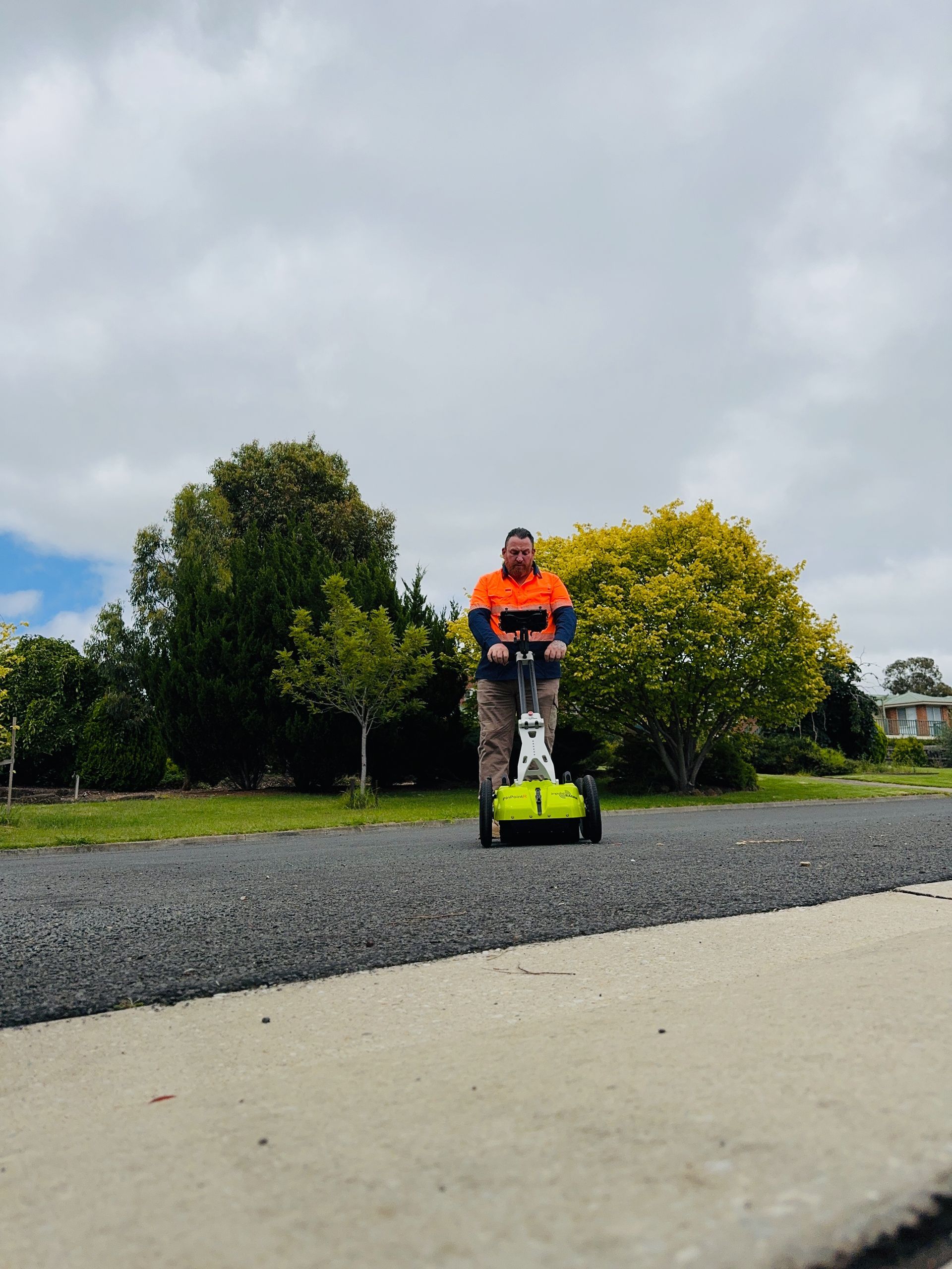
Ground Penetrating Radar (GPR): GPR uses radar pulses to penetrate the ground and detect subsurface features, including buried utilities. This non-destructive method provides high-resolution images of underground infrastructure, making it an invaluable tool for utility mapping projects.
Electromagnetic Locators: Electromagnetic locators detect the electromagnetic fields generated by buried utilities, allowing operators to trace their paths and accurately map their locations.
Geographic Information Systems (GIS): GIS software enables the storage, analysis, and visualisation of spatial data, including utility maps. By integrating utility mapping data with other geographic information, GIS helps stakeholders make informed decisions about infrastructure planning and management.
Benefits of Utility Mapping
The benefits of utility mapping are far-reaching and multifaceted:
Risk Mitigation: By accurately mapping underground utilities, utility mapping helps identify potential conflicts and hazards before construction or excavation begins, reducing the risk of accidents, injuries, and costly delays.
Cost Savings: Avoiding damage to buried utilities saves money on repairs, downtime, and legal liabilities. Additionally, efficient infrastructure planning and maintenance based on accurate mapping data can optimise resource allocation and minimise operational costs.
Enhanced Resilience: In an increasingly interconnected world, resilient infrastructure is essential for maintaining essential services and ensuring public safety. Utility mapping contributes to resilience by providing the information needed to plan for and respond to emergencies effectively.
Utility mapping is a fundamental component of modern infrastructure management and urban planning. By accurately charting underground utilities and infrastructure, utility mapping improves safety, efficiency, and resilience while reducing costs and mitigating risks. As technology continues to advance, utility mapping will play an increasingly vital role in shaping the cities of tomorrow and ensuring they remain safe, sustainable, and liveable for generations to come.


